I wonder how many people living in Richmond Hill have stopped at this National Historic Monument - commemorating the building of Yonge Street.
There is a convenient curved driveway in front to allow you to pull off and merge back onto Yonge Street.
To find it on a map, it is 11901 Yonge Street.
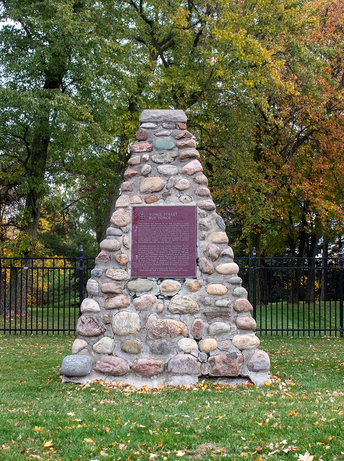
It is a cairn - a heap of stones piled up as a memorial or as a landmark. A good place for a selfie ? :)
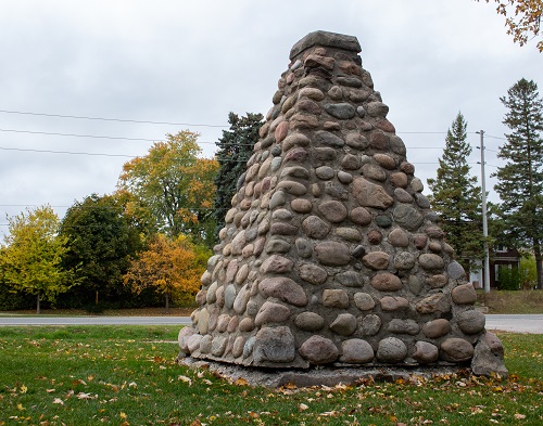
It was built in 1927 but the plaque came later.
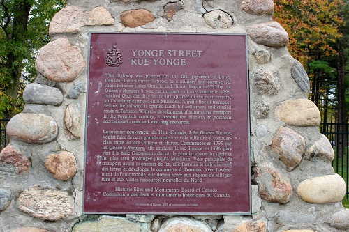
Here is the English text:
This highway was planned by the first governor of Upper Canada, John Graves Simcoe, as a military and commercial route between Lakes Ontario and Huron. Begun in 1795 by the Queen's Rangers it was cut through to Lake Simcoe in 1796, reached Georgian Bay in the first quarter of the next century, and was later extended into Muskoka. A main line of transport before the railway, it opened lands for settlement and carried trade to Toronto. With the development of automotive transport in the twentieth century, it became the highway to northern recreational areas and vast new resources.
Look out behind you when reading this to see Yonge Street and realize that for 225 years people have been traveling here!
Also on this site is the University Ave Armouries Plaque and Commerative Wall.
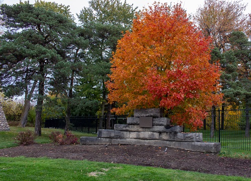
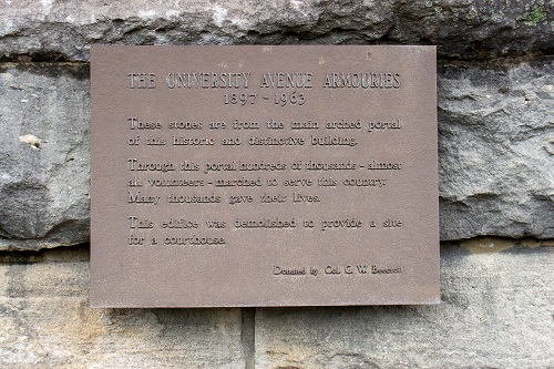
The University Ave Armouries, 1897-1963
These stones are from the main arched portal of this historic and distinctive building.
Through this portal hundreds of thousands - almost all volunteers - marched to serve this country. Many thousands gave their lives.
This edifice was demolished to provide a site for a courthouse.
Donated by Col. G. W. Beecroft
Behind these commemorations is the historic and private Summit Golf Club.
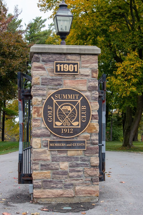
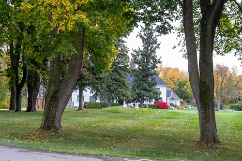
This beautiful property stretches over to Bayview Ave.
Click HERE for other Let's Explore Richmond Hill articles


